
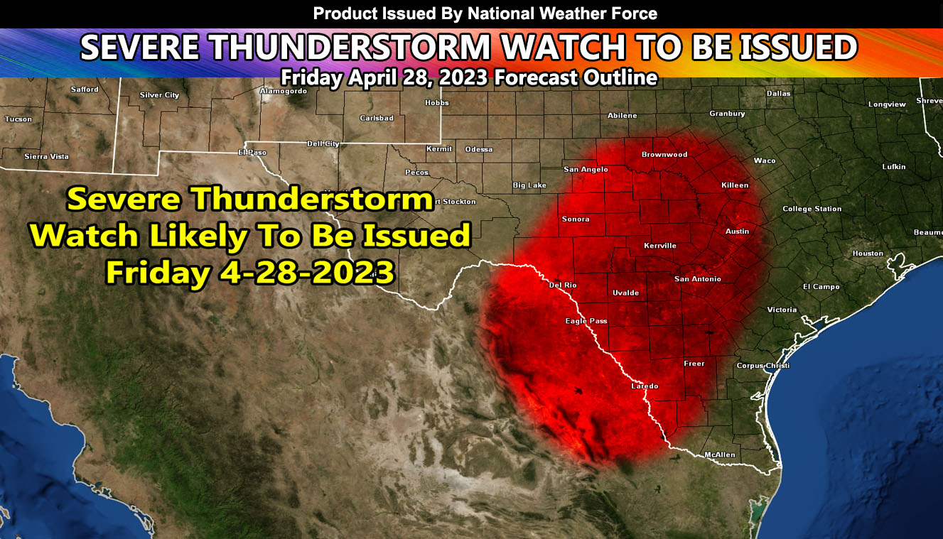
National Weather Force is pending a Severe Thunderstorm Watch As a cold front pushes rapidly southward across western TX, strong instability is forecast to develop over much of central TX on Friday, April 28th, 2023. Strong heating and a plume of rapidly returning mid 60s F dewpoints will lead to MLCAPE to around 3000 J/kg, with steep mid and high-level lapse rates.
Westerly winds aloft atop weak but veering winds with height in the low levels will lead to southward-propagating clusters of storms, and supercells at times.
Capping will likely be eroded by 21Z ahead of the front, with initiation likely along the leading edge of the plume of surface heating. Given the fast motion of the cold front, undercutting from north to south may result in the severe risk translating south/southwestward, eventually reaching the Rio Grande.
Very large hail should be the main threat, but locally damaging gusts could occur as well should storms propagate quickly enough to remain surface based. Capping will increase rapidly after sunset, but nocturnal damaging hail may persist especially toward the Rio Grande Valley.