
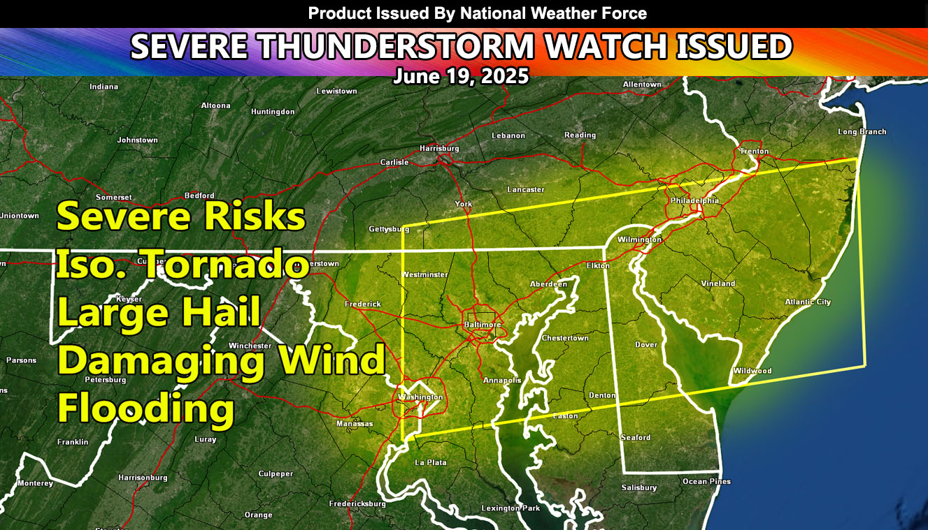
National Weather Force has issued a Severe Thunderstorm Watch effective this evening until 10pm EDT for the following zones;
Issued Sectors:
Mid-Atlantic Sector
Issued Zones:
MARYLAND: Southwest, Central, Northwest, North, Northeast, East, Southeast, and South.
DELAWARE: All.
PENNSYLVANIA: Southeast.
NEW JERSEY: Central, West, Southwest, South, Southeast, and East.
D.C.
Date Issued: June 19th, 2025 at 9:30am EDT
Discussion: A weather system that brought a photogenic tornado to Nebraska a couple days ago, and strong tornadoes in Illinois yesterday, will make its way to the east. Given the upper divergence (lift) along this line from the previous events, this still has the risk of tornado dynamics as well. However, since it will be too isolated, a Severe Thunderstorm Watch will good for this, with tornado wording due to the low-level shear and instability. These storms will rapidly form across Maryland, moving east with the evening and finally off the New Jersey coast a couple hours after sunset when the watch will end.
A Severe Thunderstorm Watch is issued at National Weather Force when conditions are favorable for quarter-sized hail, damaging winds over 55 mph, and tornadoes (if mentioned), and issued custom to you for the best lead-time possible.
Raiden Storm
Master General Meteorologist