
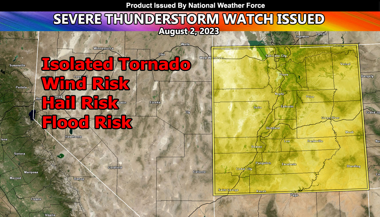
National Weather Force has issued a Severe Thunderstorm Watch effective for most of Utah for today, August 2, 2023
An upper-level system out of the west will move into the region today with the main jet dynamics along the eastern periphery of the monsoon ridge, which has shoved way east of the nominal four corners zone. The hardest hit will be along I-15 between Saint George and Salt Lake City, but rural zones of Central Utah look to take the brunt. Storms will move predominately to the northeast with time. If in the national parks today, be weather aware.
Storms will continue into the night with another round on the backside of the system by or around sunrise Thursday morning for the Salt Lake City forecast zone but dry out for the rest.
Large hail and damaging winds will also accompany the watch area.
Raiden Storm – Master General Meteorologist