
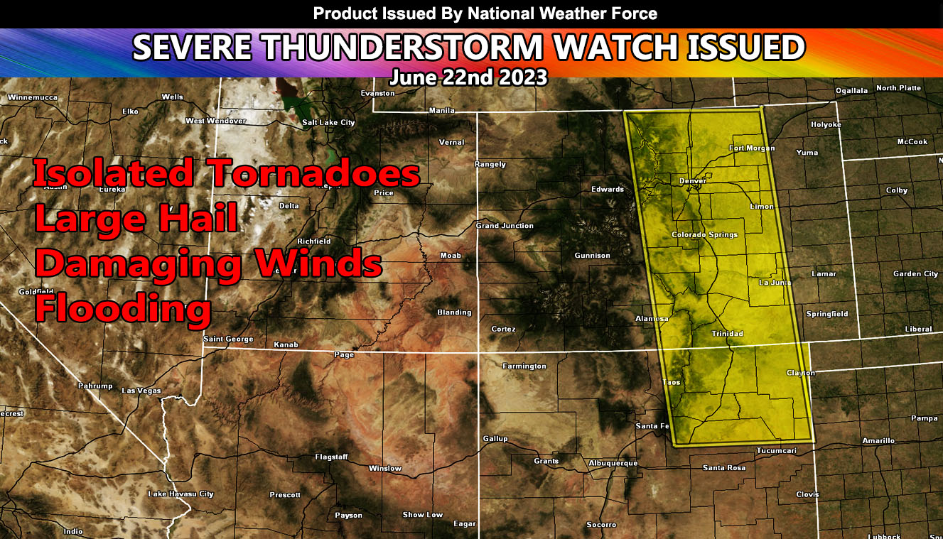
National Weather Force has issued a Severe Thunderstorm Watch effective for parts of Colorado and New Mexico centering two locations as a focus spot, which includes Denver.
An upper-level system out of the west will move into the region today. Front range activity will be present, which is normal for this time of year in these areas. Denver Metro will be the focus spot from north to south zipping a line of storm cells during the watch period. Dewpoints are up and the temperature is rising. Backing southeast winds will accompany the surface low to bring a tornado probability, mainly along the watch area and being in two focus spots. First is Denver Metro and the second will be the Northeast New Mexico regions and those counties surrounding it. Storms will move predominately to the east with time.
National Weather Force Tornado Risk Analysis Model (TRAM) is pegging a weak to notable tornado dynamic risk today in the focus areas spoken of, which means that tornadoes cannot be ruled out within the lone supercell clusters, which should last even into the night with a valid tornado threat so have your radios handy as nighttime tornadoes cannot be seen and are considered the most dangerous.
Large hail and damaging winds will also accompany the watch area.
- Raiden Storm –