
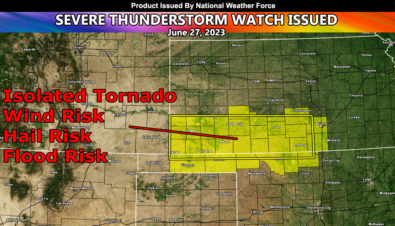
National Weather Force has issued a Severe Thunderstorm Watch effective for parts of Kansas and Oklahoma effective now until midnight.
An upper-level system out of the west will move into the region today, which will ride the northern periphery of the ridge dominating Texas with heat. Dewpoints are up and the temperature is rising. Backing southeast winds will accompany the surface low to bring a tornado probability window as well, mainly along the watch area. The hardest hit will be a corridor between Meade and Dodge City, Kansas, and those counties surrounding it. Storms will move predominately to the east with time.
National Weather Force Tornado Risk Analysis Model (TRAM) is pegging a weak to notable tornado dynamic risk today in the focus areas spoken of, which means that tornadoes cannot be ruled out within the line of storms that will race on through, which should last even into the night with a valid tornado threat so have your radios handy as nighttime tornadoes cannot be seen and are considered the most dangerous.
Large hail and damaging winds will also accompany the watch area.
- Raiden Storm –